The Super El Niño & Extreme Weather Trends: A Meteorologist’s Insights
One of the strongest El Niños in decades is taking shape, bringing the potential for major weather shifts across the U.S. and beyond. From flooding and severe storms to sudden changes in regional conditions, organizations should prepare for impacts on people, property, and operations.
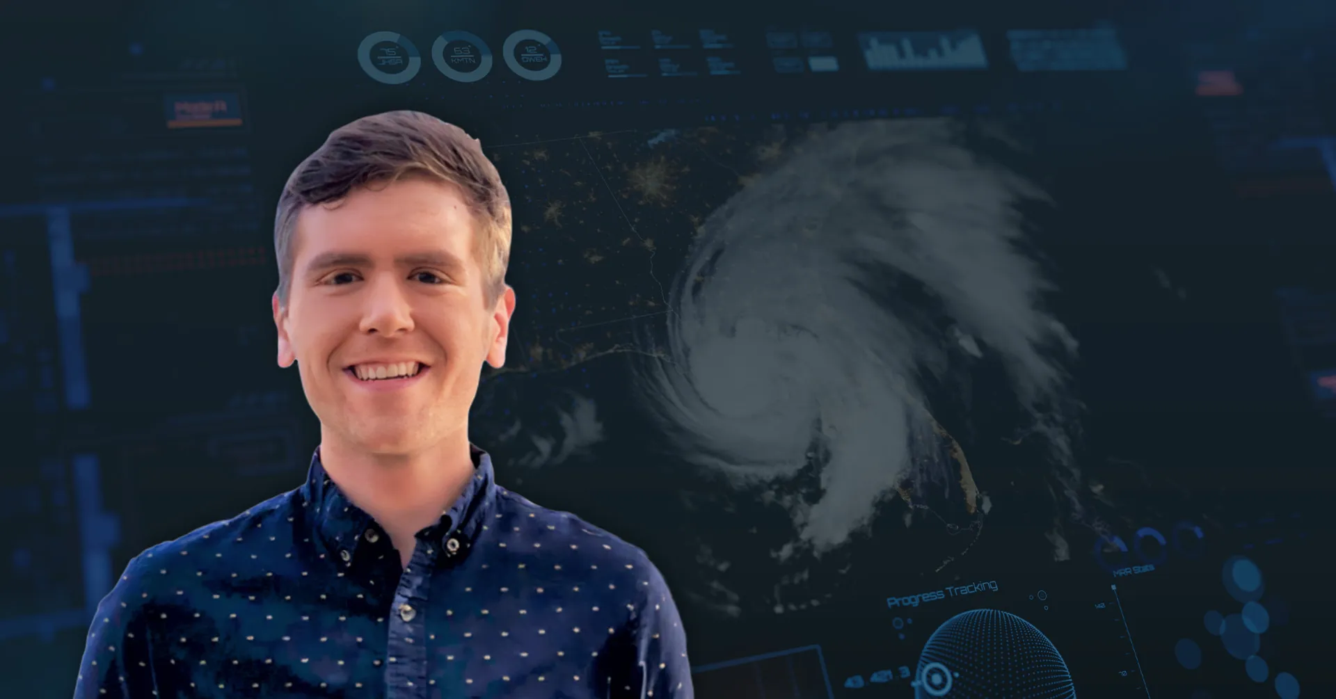
AlertMedia’s Director of Meteorology, Jason Moreland, breaks down what leaders should know about the extreme weather trends affecting businesses today and why they demand a more proactive approach to disaster preparedness.
In this episode, Jason explains:
- Why past weather events can be useful guides but unreliable predictors
- How population growth and aging infrastructure can magnify a storm’s impact
- What organizations can do to cut through weather alerts without missing critical warnings
- How AI is improving forecasts while making weather misinformation harder to spot
Transcript
(Automatically transcribed)Peter Steinfeld: Hello and welcome to The Employee Safety Podcast from AlertMedia, where you’ll hear advice from industry leaders on how to protect your people and business.
I’m Peter Steinfeld. I’m excited to welcome Jason Moreland back to the show.
As AlertMedia’s Director of Meteorology, Jason is our go to expert on all things weather. Today we cover some of the biggest weather challenges organizations are navigating, including the potential impacts of a super El Niño, the ripple effects of extreme weather across people and operations, and how advances in forecasting are helping businesses stay ahead of disruption.
Let’s listen in.
Hey, Jason, thanks for joining me in the studio.
Glad to have you back.
Jason Moreland: Yeah, thank you so much, Peter.
Glad to be here.
Seems like there’s been a lot of major weather events as of late, so this seems like hitting the right topic at the right time.
Peter Steinfeld: Indeed, there has been a lot going on, so, so glad to have on site today.
Jason Moreland: Yeah, absolutely.
Peter Steinfeld: When people think about extreme weather, they often picture maybe a single event like a hurricane, a wildfire, or perhaps a winter storm, something like that.
But from your perspective, what makes today’s weather risk environment fundamentally different?
Jason Moreland: There’s really two things happening at once.
Our risk exposure is on the increase.
If you compare the populations in some of the more vulnerable areas, like the wildland urban interface, in areas like Southern California, the population has exploded in the past 20 to 30 years.
So we’re seeing more news about natural disasters.
We’re seeing greater impacts because we have so many more people and assets in harm’s way.
And it’s not just a California issue.
It can be along the US Coastline, the Gulf coast, the East Coast.
Think about all the population growth in states like Florida just in the last five to six years.
In addition to the increasing exposure, there is no doubt an increase in the number of hazards.
We’ve seen this anecdotally in the news, but also statistically within the weather community.
For example, we can’t help but notice that there’s been an uptick in rapidly intensifying hurricanes within 48 to 72 hours before landfall.
We’ve seen an uptick in wildfire activity in places that, sure, they’ve had fire events in the past, but the amount of Canadian smoke intrusions into places like the Northeast U.S. these events are definitely upticking as the years go on.
Peter Steinfeld: Now, a lot of organizations still build their emergency plans around historical weather patterns.
However, as the old saying goes, history doesn’t repeat itself, but it often rhymes.
So is this tendency to plan for the next critical event, be it a Weather event, or anything just based on the experiences of the past becoming a risk in and of itself.
Jason Moreland: So I do support looking at prior events as analogs because you can take lessons learned from those events and better prepare for the next one.
However, there’s always a caveat and nuance to things when it comes to weather preparation, natural disasters.
And I’ll give one real life example.
Before Katrina came around in 2005, the benchmark for a major event along the Mississippi coast was Hurricane Camille.
That was a devastating Category 5 hurricane that slammed into the central Gulf coast in 1969.
And residents that lived there for decades, they basically thought to themselves, there’s no way that this one is ever going to be beaten or challenged.
And if the storm surge didn’t reach my house, then we don’t have to worry about it.
So even though we do want to refer to those prior events and learn from those mistakes, these storms don’t always behave the same as the ones in the past.
And we are seeing more challenges, more extreme rainfall rates, higher storm surge values.
That could be because the storms themselves are bigger in size.
And also sea level rise in general is increasing the coastal storm surge and inundation that we see.
So that’s just one example to this.
If you also think about a major urban city like Houston, the amount of infrastructure we kind of think about the concrete jungle.
So If Houston receives 20 inches of rain today versus 30 years ago, the impacts are going to be far different than the last comparable event.
So those would be things I would keep in mind.
Peter Steinfeld: Yeah, it seems like the infrastructure on the ground is something we oftentimes ignore.
We think about the weather being the same and the storm could be similar.
Not.
But the impact on the ground is going to be much different.
If the infrastructure of, let’s say Houston can handle 3 inches of rain per hour versus 6 inches rain per hour.
And if they haven’t made those changes, then the storm could just have a completely different impact on that area.
Jason Moreland: Yeah, absolutely.
We saw a similar case where there’s been a lot of controversy about whether New York City has maintained the subway system because the subways were built decades ago before we’ve had these extreme rainfall rates and parts of the Northeast U.S. now there’s a whole consideration of how much money is going to go into these infrastructure projects to account for a modern climate.
Peter Steinfeld: That’s interesting.
If you watch the weather on tv, they talk about the weather only, but not necessarily the impact based on changes in infrastructure.
And that may be out of the purview of the weatherman’s job.
But do you see something evolving in this space here to where people who are meteorologists start thinking about that and talking about those kinds of things?
Jason Moreland: For sure, I think we really need to be upfront with people about what is going into these climate stories.
Because if we all put these impacts and the changing intensity of these impacts on climate, that starts to create a little bit of skepticism among the broader community.
So even though the scientists are right when they say those things, I think if we’re completely upfront about there’s multiple factors in play at once simultaneously, then it will all come together because there is more than one thing in play here.
It’s not just a changing climate, it’s changing infrastructure.
Peter Steinfeld: Well, there’s been a lot of discussion around a super El Nino this year.
So what makes this different from a typical El Nino?
And why should organizational leaders pay attention to these climate patterns?
And does it impact the entirety of the United States in the same way?
And if so, what does that mean?
Is it more rain?
Like what is it?
Jason Moreland: So when it comes to these super El Nino events, they’re great for media articles, of course, everyone gravitates toward the extreme terminology, but in this particular event, there is a lot of truth to it.
The reason why this one is getting so much news traction is because this El Nino is stronger than any of the ones that we’ve seen in recent modern decades.
The only comparables are the notable 1997, 1998 event.
There was another super strong El Nino in 1982 and 83.
So there is precedent, but this one is just one level even above those more recent examples.
So just to back up one step further, we’re really just talking about the ocean temperatures in the equatorial Pacific, the area to the west of South America, and we’re seeing water temperatures compared to normal over 2.5 Celsius, what we would normally expect in this area.
So it’s not just we are at minimal El Nino thresholds.
These are all time El Nino comparisons that we’re making.
So that’s what differentiates between these more longer term climate patterns versus these daily severe weather outbreaks, hurricanes, tornadoes and whatnot.
When we talk about these ocean phenomena like El Nino, La Nina, these are more global weather patterns that it has a global impact and it’s over the span of months and even sometimes a couple of years.
So this isn’t a phenomenon that’s going to hit the west coast one particular week or a certain time of the year.
This is going to be something that kind of modulates the entire global weather pattern for, for the end of 2026 and really at least through the first half of 2027.
Peter Steinfeld: And does it result in more precipitation overall or do things get drier?
Does it depend on where you are?
Jason Moreland: Yeah, it definitely is location dependent and much like how we talked about, you can’t really say that prior hurricanes are gonna be an exact tell of what the next system is going to produce.
The same really applies for these long term weather patterns like El Nino.
Even though we’ve drawn comparisons to the 1997 event, there was another one in 2015 and 2016.
They all behave and the impacts are a little bit different from one another because you might be talking about the water temperatures off of South America, but there’s also lesser talked about patterns that are in play in the Indian Ocean, the Atlantic.
So it’s not a one size fits all even for these top tier El Nino events.
But going back to your more general question about what can we expect in the months ahead, unfortunately it’s more weather whiplash because in recent years we’ve talked a lot about drought in places like southern Florida.
Texas has had severe to exceptional periods of drought over the last two or three years which were largely affected by the La Nina that we’ve come off of.
California has had ongoing drought issues.
I don’t think anyone is really unfamiliar with that, but with a strong El Nino, at least based on historical perspective, as we get deeper into this winter and through the early months of 2027, the El Nino does tend to enhance the subtropical jet stream.
And, and so that means more Pacific moisture laden storm systems hitting the west coast, mainly the central and southern California area, then spreading farther east through the southern US So we can’t say this with certainty, but Los Angeles, San Diego, the interior central valleys, there could be increased tendency for more heavy rain, atmospheric river events that could cause localized flooding, maybe evacuations and wildfire burn scar areas where the water cannot really settle into the soil as effectively as it once did.
So California could be looking at a different type of threat as we get deeper into this winter.
And then for the rest of the southern U.S. florida has had a history of more significant severe weather outbreaks, tornado events during the winter and spring months when these super El Ninos really set in.
So those would be some things that I would be on the radar.
Peter Steinfeld: I think you phrased it well, it’s whiplash.
So things will basically just be a little bit more chaotic than usual.
Jason Moreland: Yeah, and sometimes it’s really just hard to keep up with because we can talk about Texas drought for years on end.
We’ve talked about Lake Travis.
The water levels are below some recent records and now we’re going right back up to near 100% capacity after extreme rainfall events.
Peter Steinfeld: Any forecasts on the ski season in the Rockies?
Jason Moreland: Yeah, you know, that’s a bit of a tough one.
I feel like the Sierra Nevada mountains, some of the more Southern California mountains, would have an increased tendency of heavy snowfall if the they’re not totally overridden by this warm flow of Pacific air, which is another wildcard with some of these El Nino events and kind of hard to say.
As you get farther east towards the.
Peter Steinfeld: Rockies, I want to come back to something you mentioned earlier.
It really piqued my interest, this idea of just so many more people out there being affected by weather.
There’s just a vast number of people on Earth now.
And the other thing that I often notice is there’s just this tremendous interconnectedness of our societies in general.
So the impact of a single weather event, it just rarely stays confined to one location anymore like it did in the past.
So with that in mind, how should organizations think about the ripple effects that can follow from these types of events?
Jason Moreland: I hear about this all the time in my position.
I think some of this is, how do I say this, the duty of care.
The anticipation of how deep do we go with that has really increased over the past five to seven years.
And maybe 10 years ago when it came to tornadoes, the main concern would be what is affecting some of my headquarter locations.
We care about what’s going to happen within a 1 mile radius if someone can make it into the office.
Nowadays we have hybrid workers, we have completely remote workers.
There’s also the supply chain that can stretch far beyond any central point.
But more specifically, when it comes to tornadoes, it might be great that one particular damaging tornado passed 20 miles from your HQ.
But what if you had people that usually commute from some of these suburban neighborhoods that were heavily devastated the night before?
Nowadays GSOCs are being questioned if they don’t flag to their stakeholders that a damaging event occurred within a certain mile radius of one of their locations.
It’s one thing for the HQ to be safe, but what if you have a dispersed workforce?
All across the Southeast US With Hurricane Helene, there were so many companies that couldn’t get in touch with parts of their workforce because cell phone communication was down across much of the Appalachians, Some people couldn’t be rescued via helicopter until days to upwards of a week.
When The National Guard was fully involved in some of these more rural areas.
When it comes to wildfires, just going back to Southern California, what we saw early last year, it wasn’t so much the people within the fire perimeter or the evacuation zone.
These fires had major consequences on the entire population of Los Angeles.
So if you think about the amount of smoke that was being produced and all the threats that came about with that, you had a good chunk of that LA Unified School District that was not in session for several consecutive days.
So what does that do to your workforce if none of those kids can go to school?
Not to mention those that could be under at least evacuation warnings.
There’s so many cascading impacts beyond just the immediate area.
Peter Steinfeld: And how much of that is the job of the meteorologist to help warn people versus just saying, hey, here’s the information I’m giving you about the event.
Don’t forget to think about the cascading impacts.
Jason Moreland: Yeah, I feel like my profession is evolving rapidly as years go on because I know that we used to be the brunt of some of the jokes in the past where the weatherman’s always wrong.
What I would say is that when it comes to large scale weather threats like the impending Gulf hurricane or the severe weather outbreak, usually we can see these pretty well several days in advance.
It’s the more micro scale events like the localized wildfire or the scattered flash flooding, but there could be a localized extreme flash flood somewhere within the zone that gets five times the amount of rain that someone else gets.
And it’s the messaging that is really starting to evolve where we’re trying to really have the consumer grasp the probability, the uncertainty behind some of these things and the what if the worst case scenarios so that this becomes more real to them and they can better prepare.
So it’s definitely an evolution between just forecasting and getting more into that emergency management realm.
Peter Steinfeld: And as you say that, it makes me think about the boy who cried wolf because how do you balance that?
You deal in percentages like something may, may not happen.
There’s a 38% chance of it raining.
A lot of people don’t understand what that really means.
But how often do you send off the alarm bell and to what extent?
So you avoid that boy who cried wolf syndrome where people stop paying attention to you.
Jason Moreland: It’s actually a great debate that we’re having within our field because we as meteorologists acknowledge that there are a lot of watches, warnings and advisories.
And every day I hear that this is a lot of volume, especially for A company that might have assets all across the country from coast to coast.
So if you have every single alert enabled for every single location or every single employee, you could be getting hundreds of more alerts per day.
So it’s definitely a justifiable question and concern.
So I think what it really boils down to is people need to know what threats are most relevant to their specific people in business.
And in the case of a tornado warning, the National Weather Service will issue thousands of those across the country per year.
And I know that they can become what feels like a nuisance because roughly 70% of those don’t actually produce tornadoes.
But let’s think about the amount of time throughout the year in which one single location is actually under a tornado warning.
That is so fractional, when you really think about it, in the grand scheme of things.
And that also means 30% of the time, these are the real deal.
And I think it’s okay to elaborate on this more, just in the same way that I did, so that people understand that this is all a probability game.
But when we are issuing warnings, there is something that is piquing the interest level.
There is something that should be of concern to them if they’re within the polygon.
Peter Steinfeld: And if you don’t actually take action immediately, at least you’re aware.
So if something does happen, you’re more primed to actually respond.
Jason Moreland: Absolutely.
Peter Steinfeld: Well, you do spend your days helping organizations interpret weather intelligence.
What’s the biggest misconception leaders often have about weather risk?
Jason Moreland: There’s a lot of misconceptions, and in fact, I think there’s a little bit of complacency when it comes to natural disasters and weather, because I see a lot of gsocs that focus on the human side.
Events like hazmat, Active Shooter.
Obviously, these are all major critical situations, but I think when it comes to natural phenomenon, there’s just so much nuance, complexity, uncertainty.
Sometimes it feels out of scope that people just don’t know quite how to react to these things or how do they monitor it?
And so I feel like we kind of accept that we can receive a forecast, but that’s not exactly the end of the equation there.
That’s just getting the initial information.
Then it becomes, how do we act upon this?
And if all you’re doing is receiving a forecast and sending it out to people, it’s not telling people, what should we be doing?
What is our preparedness plan?
What happens if a flash flood warning is issued?
What is the next step?
Peter Steinfeld: It’s really interesting.
You say that because I watch the weather every day, I read the reports that you guys put out.
But oftentimes it’s like, huh, that was informational.
Interesting.
But I don’t think to your point of the next step of okay, I’ve just gotten this information from you.
On my worriness scale of 1 to 5, 5 being the worst, that should probably be about a 3, which then triggers these things I need to start thinking about and doing so.
That’s really what it’s about.
It’s you guys provide the information which then should trigger a series of activities that the receiving individual should then put into place.
And that gap is not always closed.
Jason Moreland: Exactly.
And the other part of this gap is the National Weather Service is absolutely great at what they do.
In my personal opinion.
They’re one of the best government agencies that we have here in the US but what they’re trying to fulfill is the obligation of keeping everyone in the community safe, whether it’s just a member of the general public or a business.
But when they’re covering so many people, they can’t get as granular as a one to one decision support would be.
And so I would always advocate for if you do have a service that allows to have more of a human in the loop or a meteorologist in the loop to have a follow up with.
So let’s say you just received this alert, but you need to have a little bit more context about a specific location.
What does this mean?
For me, that’s where this more direct weather support comes in.
And so that’s what I also partly do in my day to day job.
It’s not just the high level, it’s also answering customer questions, putting this into real life context for them.
Peter Steinfeld: Now you mentioned it before.
Forecasting has become remarkably accurate compared to where it was just 20, 30 years ago.
But organizations still get caught off guard.
Why does that happen?
Jason Moreland: I think it goes back to the volume and not knowing how to exactly determine between is this a regular flood watch or is this something that’s a higher severity?
And the other unfortunate side of this is again, we’re really good at seeing those blockbuster storms that are two to four days out the Northeast that we’re hearing that’s going to threaten Boston or New York City or the Florida tropical disturbance that’s developing out near the Bahamas.
The more catchy ones though are the more localized one off type incidents.
So in the case of the Central Texas floods, there was a flood watch issued in advance.
The Weather Prediction center did issue a level 2 out of 4 excess rainfall risk, which usually signifies that there will be be some scattered flooding within a broader part of the state.
But what gets lost in some of this messaging sometimes is when we say in all honesty, there could be widespread three to six inches, but someone is going to get 15 to 20 inches.
Peter Steinfeld: Oh, wow.
Jason Moreland: And how do you communicate that?
You don’t want to cry wolf to everyone in west central Texas, but you have a strong feeling that somewhere in there three counties is going to get a deluge that they’ve never seen before.
And this goes back to the communication gap that even we within the meteorology field are still trying to figure out.
Peter Steinfeld: Yeah, and it goes back to the problem you mentioned before, which is people receive the information differently because they have different levels of concern for that area or themselves.
Potentially the average citizen is like, it’s not that big of deal, just stay home today.
But the business is like, wow, we’re going to shut down and lose out on millions of dollars of revenue if we can’t bring our operations into play.
So they care about the information very differently.
But you can only say it one way, really.
Jason Moreland: Yeah, absolutely.
And sometimes we can absolutely nail the forecast.
But the rainfall rates could be really variable.
Within just a five county area, you at your home may have gotten half an inch, but just a county away they may have gotten 10 inches of rain overnight with vastly different impacts.
And so it’s a bit of a psychological thing that we’re also trying to combat as well.
Even though if it wasn’t your backyard, it could have directly impacted someone within the same community.
Peter Steinfeld: That’s true.
I was just in Buffalo recently and the folks I was meeting with were telling me about how you could look out the window of a skyscraper and see where like five feet of snow on this side of town and the other way there’s only like maybe 5 inches or 5 centimeters of snow.
It’s like nothing.
And that’s literally within one town.
Jason Moreland: Yeah.
I’m not jealous of the hot seat that the forecasters up there have to deal with.
Peter Steinfeld: Yeah, exactly.
Well, technology is making weather information more accessible to people than ever before, but it’s also making it harder to separate fact from fiction.
How should organizations think about that particular challenge?
Jason Moreland: Yeah, no, this is a good call out.
I’ve seen massive advancements within weather forecasting in the last 10 to 20 years.
And then even in the last 12 to 24 months with some of this AI modeling coming on, we have seen rapid improvements in hurricane track forecasting.
Some of the better forecast models with Hurricane Melissa in the Caribbean in 2025 were AI contributing models.
So that’s the positive side of this technological advancement.
The other downside of this though is you can really create official looking maps with just a couple prompts with AI.
So for social media influencers, it’s really good or really easy, I should say, to take a real life event, but then dramatize it or exaggerate the impacts, make it possibly even worse than it already might be.
And when you take a real life event but then layer on these additional things that kind of falsify some of the finer details, it becomes really hard for a general consumer to interpret the difference between the two.
It is a real event, but is this picture an actual picture of the damage path or is this something that’s just an AI picturization of it?
And I see this when it comes to confirming impact shortly after a weather disaster, there are social media users that will upload a picture of an old tornado from five years ago and they say that this just occurred in the Greater Texas area or wherever it might be.
And so that’s the downside is AI can make everyone sound like an expert or like an eyewitness.
So you really need to verify your sources.
And when in doubt, always refer to National Weather Service, National Hurricane Center, SPC, or one of your local meteorologists that you may have some sort of contact with.
If it looks like it’s something that you really can’t take to the bank, then I would say err on the side of caution and maybe don’t go with that social media source.
Peter Steinfeld: Yeah, I think that it sounds like it’s true for weather, but anything out there, if you’re seeing something come up in social media and you don’t really recognize who’s saying it, or even if you do and you know they’re not an expert in this field, take it with a grain of salt and immediately go check the authoritative source.
And if they’re not also reporting it, it’s probably not real.
Jason Moreland: Yeah, absolutely.
Peter Steinfeld: Well, if a leader listening today wants to strengthen their organization’s extreme weather preparedness, what’s one place you’d recommend they start?
Jason Moreland: I would recommend that they start with really talking to the stakeholders within these different departments and learn more about from the people on the ground what impacts their locations the most.
For example, when there’s flash flooding, what parts of their operation are most at risk?
Do they have certain supply chain routes that they are aware of that go underwater in heavy rainfall outcomes?
When it comes to hurricane evacuations, do you have people in different sorts of evacuation zones.
Are they in Zone A versus Zone B?
How soon should we stand up a hurricane response to a potential looming threat?
So there’s different timelines for when different parts of your organization should be activating their preparedness plan in advance.
So what it really comes down to is get a better sense for what are the more pressing weather impacts that more commonly impact your business, and then you can get a better read for how to prepare for the next one.
Peter Steinfeld: Excellent advice indeed.
Jason, thank you so much for being on the show.
I really appreciate you coming back again.
Jason Moreland: Yeah, absolutely. Anytime.
Thank you.
Peter Steinfeld: To learn more about Jason and his work with AlertMedia, click the links in the episode description. You can also watch the video Highlights on AlertMedia’s YouTube channel.
Don’t forget to subscribe, rate, and review the show wherever you get your podcasts. Stay safe out there.
Outro: Thank you for listening to The Employee Safety Podcast from AlertMedia, the world’s leading provider of risk intelligence and response solutions. To learn more about how to protect your people in business during critical incidents, visit alertmedia.com.


More Episodes You May Be Interested In
-
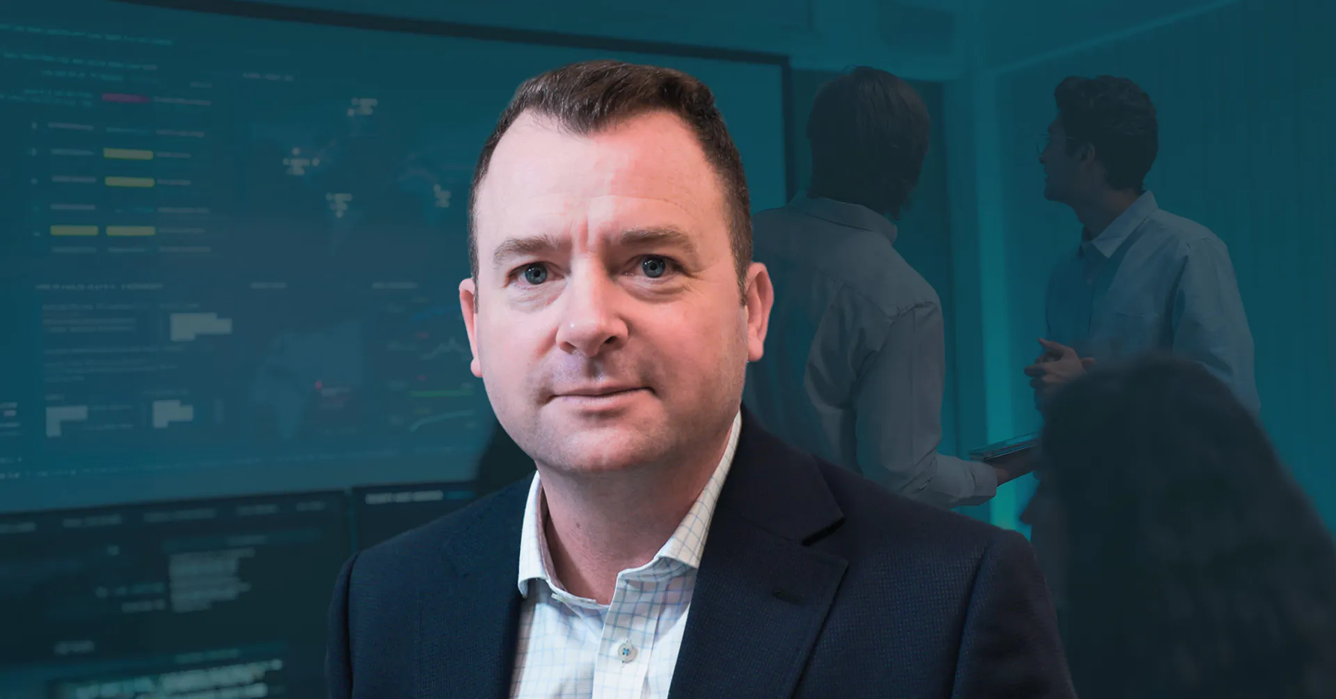
 Healix International on Navigating the Impacts of Global Risks
Global disruptions rarely unfold as expected. For organizations with traveling employees or international operations, preparedness starts with understanding where their people and business are most exposed. James Henderson, CEO of Healix International, shares how his team navigates everything from everyday travel problems to complex evacuations. He explains why personalized risk assessments can help organizations prepare…
-
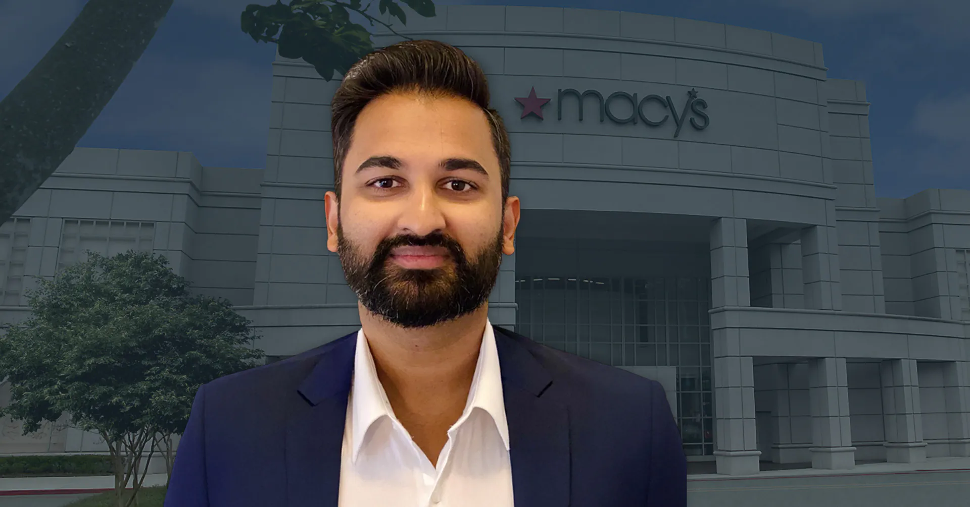 How Macy’s, Inc. Executes Crisis Management at Scale
What does crisis management look like when you’re responsible for over 90,000 employees across hundreds of locations? At Macy’s, Inc., there’s no one-size-fits-all response. Vamsi Revuru, Lead for Enterprise Resiliency and Crisis Management, shares how his team navigates fast-moving incidents and large-scale disruptions. He explains how Macy’s executes crisis management in real time, where centralized…
-
 Mastercard’s Proactive Approach to Climate Risk and Resiliency
As climate risks intensify globally, Mastercard is committed to ensuring the safety of its people, facilities, and communities, in part by mitigating risk from extreme weather. Montana Eck, Ph.D., Director of Physical Climate Risk and Resiliency at Mastercard, shares how his team assesses and prioritizes climate risks across the company’s global operations. With a background…