The Atlantic hurricane season officially begins next Monday (June 1). For industry leaders and meteorologists, it starts much earlier.
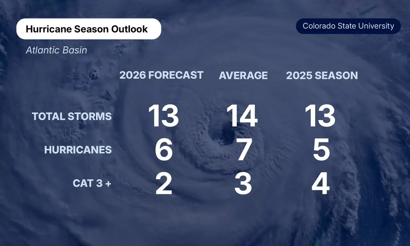
Forecast models, ocean temperatures, upper-atmosphere wind patterns, and pressure anomalies are already shaping the picture for 2026. Early projections point toward a somewhat quieter season than recent years. Colorado State University’s initial outlook calls for 13 named storms, six hurricanes, and two major hurricanes, slightly below historical averages. The anticipated emergence of El Niño conditions later this summer is a big reason why. El Niño increases wind shear across the Atlantic, disrupting storm development before systems can fully organize.
But “below average” isn’t the same as low risk... and it never has been.
Hurricane Andrew hit South Florida during a relatively inactive 1992 season and became one of the costliest disasters in U.S. history at the time. More recently, hurricanes Idalia and Otis both demonstrated how quickly storms can intensify near landfall, compressing preparation time to hours. That rapid intensification trend remains one of the biggest concerns heading into 2026. Ocean temperatures across portions of the Atlantic Basin and Gulf of Mexico are still well above normal, providing the fuel a developing storm needs to escalate fast even if El Niño keeps overall activity in check.
Geography is another factor reshaping how organizations think about exposure. Inland flooding, prolonged power outages, supply chain interruptions, and communication failures have increasingly defined major hurricane impacts, often hundreds of miles from where a storm made landfall. This season, the National Hurricane Center is updating its forecast graphics specifically to better highlight inland warnings and uncertainty zones, recognizing that hurricanes don’t end at the coast.
Aging infrastructure adds another layer of concern. Power grids, cellular networks, transportation corridors, and fuel supply chains can remain disrupted for days or weeks after a storm passes. Organizations well outside a storm’s direct path routinely face operational challenges tied to vendor disruptions, workforce displacement, and cascading infrastructure failures.
That evolution is influencing how forecasters communicate risk. Rapid intensification events and overnight track changes have compressed decision timelines in ways that werent common a decade ago. Organizations that wait until a hurricane warning is issued to activate their plans are often already behind.
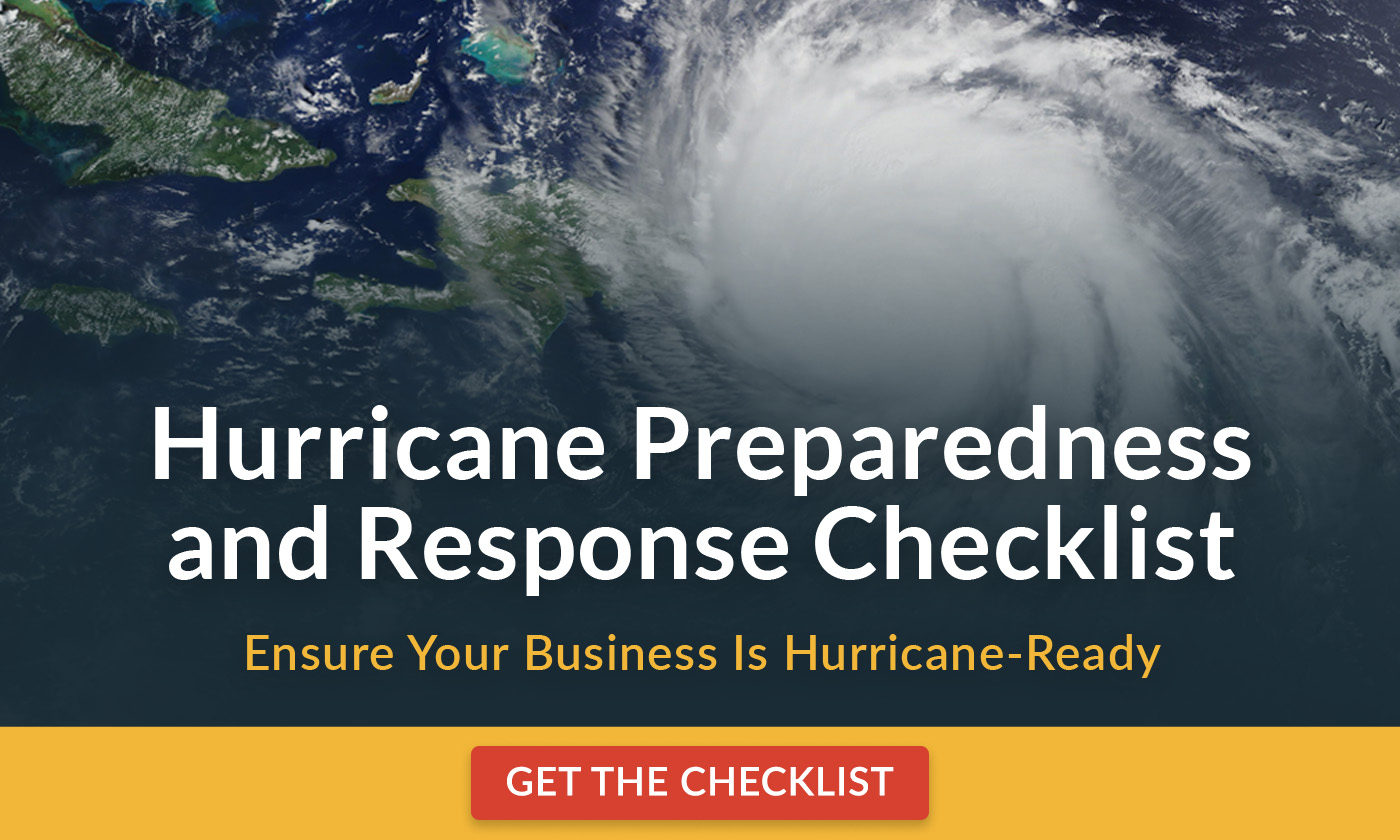
Why you should care: Hurricane preparedness is increasingly becoming a year-round business continuity issue rather than a seasonal weather concern. A single storm can disrupt operations far beyond the coastline through infrastructure failures, workforce displacement, transportation delays, and extended communication outages.
Organizations that respond effectively during hurricane season typically aren’t improvising when forecasts worsen. They’ve already established communication plans, identified operational vulnerabilities, tested remote work capabilities, and determined how they’ll support employees before conditions deteriorate.
Because it only takes one storm (and sometimes only a few hours) for a manageable situation to become a crisis. |